Rappelling
Rappelling is a fairly common activity in Saint George. As you drive across Red Hills Parkway, below the huge, white letters that spell “Dixie” you can often see people descending the cliffs right by the road. Not all of these people are experienced rock climbers. Sometimes people with little experience choose to bravely challenge gravity with technology. We do not recommend that anyone try rappelling or anything requiring ropes, without extensive experience. But with the right gear, knowledge and experience, there are plenty of places near the center of St. George where one can test their skills and nerve. In fact three types of rock can easily be rappelled within ten minutes of each other, and several more within an hour drive.
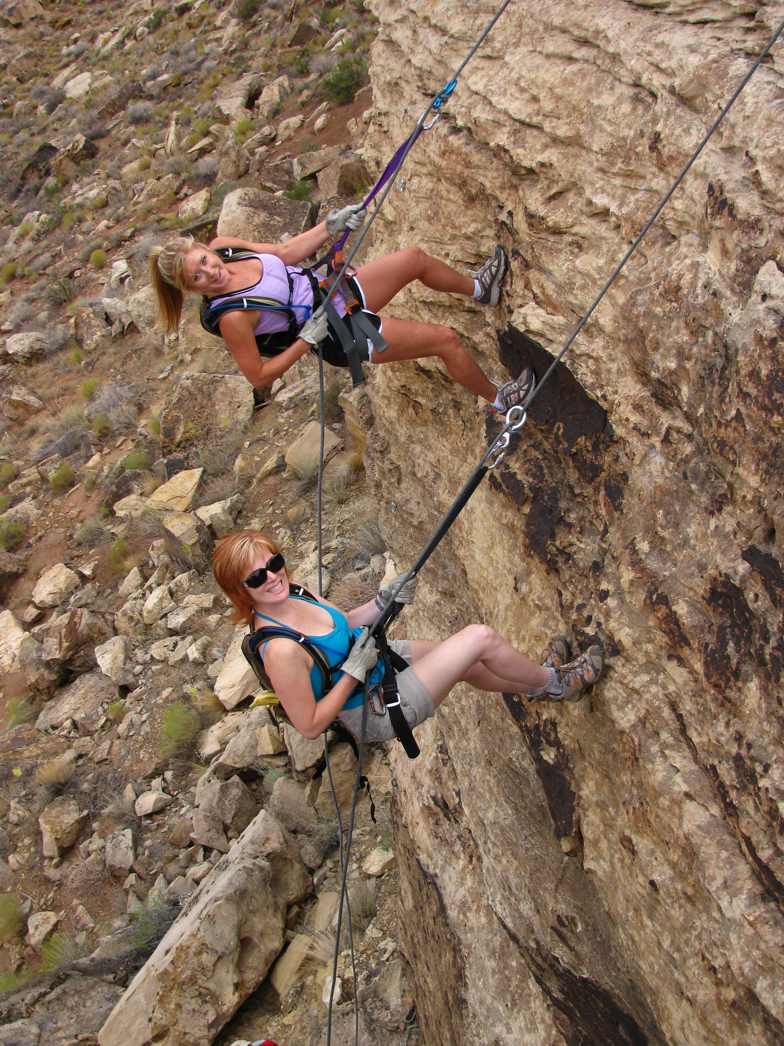
Safety: Rappelling can be extremely dangerous when done wrong. We highly encourage you to hire a guide or gain the required experience before taking this risk. We could give tons of tips, rules and advice, but the only way we can ensure your safety is to take you rappelling ourselves. Contact us to schedule one of our many rappelling programs.
Gear: The Desert Rat carries everything you could need for rappelling. They are easily found on the Northeast corner of St. George Blvd and Bluff Street.
Regional Locations:
Pioneer Park/Dixie Rock:
The prominent large rock along Red Hills Parkway with the huge white letters on it that spell “Dixie” is a popular place to rappel. On top of this rock there are several anchors. This can be exciting, as there is usually an audience watching you as they drive by.
Directions: Along Red Hills Parkway, between 200 East St. and 900 East St. On the north side of the road, there are two different driveways that lead into the park. The west parking lot/driveway is closest to the “Dixie Rock” rappels. The east driveway leads to two parking lots. After turning in off of the street, turn immediately left for the middle parking lot, take the next right turn off of this frontage road to turn towards the east round-about parking lot.
Cougar Cliffs
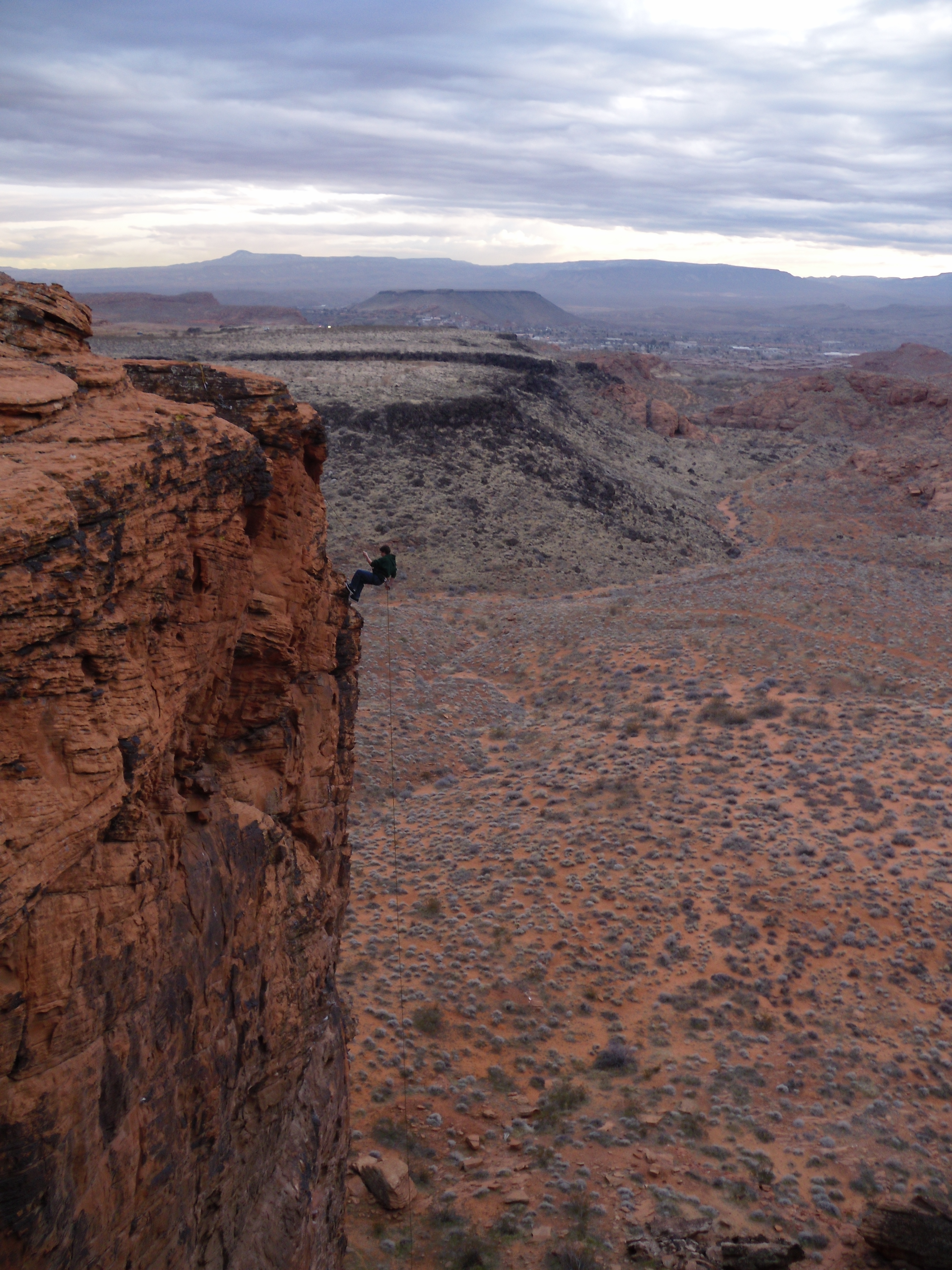
Cougar Cliffs offers a view of St. George as well as the Beck Hill trail. It also has over 75′ high rappels and climbing routes.
This part of the Red Cliffs National Conservation Area is a small, awesome red rock out-cropping, easily seen off the highway 18. Its petrified sand dunes of Navajo Sandstone form some easy, shorter, sloping training rappels. Scramble up the small red rock hills to find the anchors on top. These are ideal for training since you can descend down a 45 degree slope before learning to rappel sheer cliffs. But this place is called Cougar Cliffs for a reason. 75-100 foot cliffs lie here for the brave. There are 2 general spots where you can access these large rappels. On the west edge of these red rocks, and on the south side of this area. There are two tough hikes back up the cliffs. One features rope ladders and log steps wedged into the sandstone, to get up from the south rappels. To ascend the west rappels, hike up the north edge of this cliff face. You can easily see where the black rock terrain meets the cliff. This is a steep but non-technical hike.
Directions: Drive north on Highway 18/Bluff St. After passing mile marker 6, look for the pull-out on your left. We recommend that you pass it, then turn around and approach this parking from the south-bound lane. There is a small gate in the fence along the highway. Enter here. The red rocks are all around you.
The Green Valley Gap
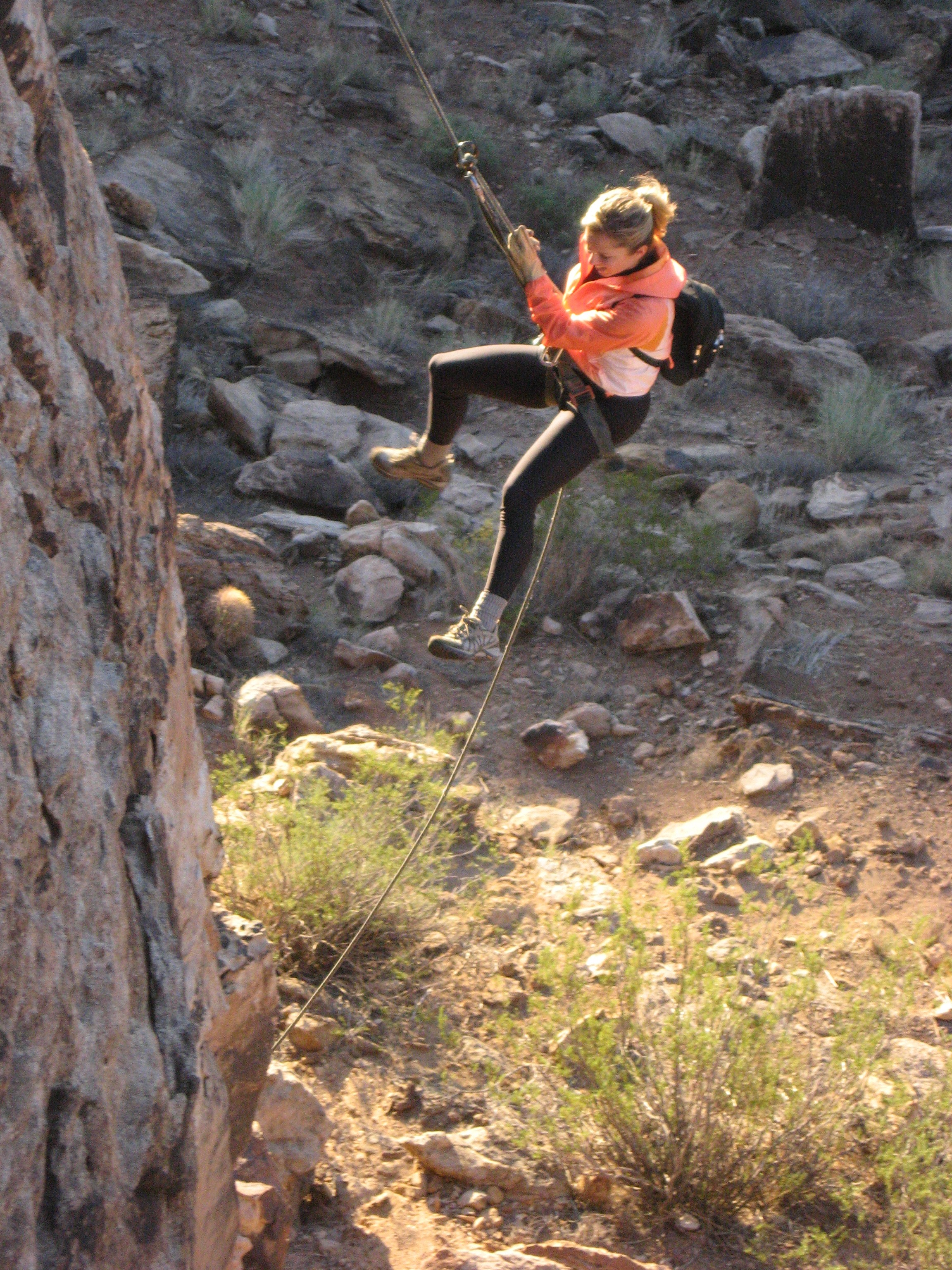
Rappelling at the Green Valley Gap in St. George, Utah.
This is a great place for all kinds of recreation. You will see all types here, from mountain biking to zip-lining. The east half of the north side of this canyon features climbing anchors that are accessible from the top, though setting a back-up anchor to reach them is a wise choice. These make for really fast set-ups with minimal hiking. Rappels range from 40-60 feet tall in this canyon.
Directions: From Dixie Drive, turn West onto Alienta Drive. Continue straight onto the dirt as the pavement ends. Navigate a maze of random roads to follow the power lines down the hill. From the hill you can see The Gap. It is the obvious canyon to the west. Park on top of the north side of the canyon or park at the bottom of the canyon to hike through its east portion. Look for anchors on the north side of the canyon.